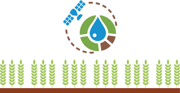
for farms

The platform for accessing the irrisat® irrigation advisory system, which complies with the Italian MIPAAF Ministerial Decree of July 31, 2015

What is

Map Time Explorer® for farms is an on-farm irrigation consulting platform that uses information from the irrisat® methodology, enabling efficient scheduling of irrigation volumes and times to ensure minimum water consumption for equal production .

How It Works

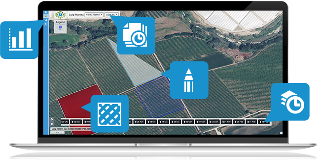
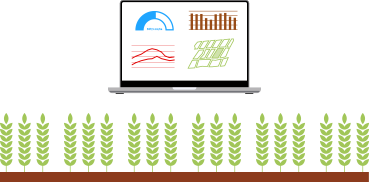
Map Time Explorer® for farms is presented as a dashboard from which you can view maps of your plots and view satellite maps at different dates. After drawing your plots, several panels are available on the left side of the dashboard to display tables and graphs with crop development information, and, in the advanced version, weather information and irrigation advice.

smart irrigation system

Benefits

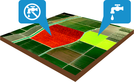
Waste reduction
of water and energy
Optimization of
irrigation interventions
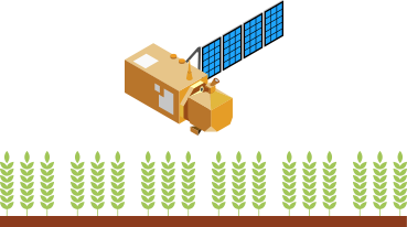
Real-time mapping
crops
Identification
of anomalies
Irrisat® irrigation advisory system
For the optimization of interventions
Development information
crops

Choose the solution that best suits your needs

Or try the demo version for 14 days.

MapTime Explorer BASE50

100
00
Annual
  • Draws and monitors polygons of plots up to a total area of 50 ha
  • Time series of Satellite Images in natural color and false color with infrared crop view (10 m spatial resolution, 1 image every 5 days)
  • Time series of NDVI vigor index (10 m spatial resolution, 1 image every 5 days)
  • Time series of Leaf Area Index (10 m spatial resolution, 1 image every 5 days)
  • Multi-temporal chart tool for NDVI and LAI.

Need more functionality? MapTime Explorer Advaced 50 is for you

MapTime Explorer ADVANCED50

300
00
Annual
  • All the features of BASE50
  • Time series of Fractional Cover Index (10m spatial resolution, 1 image every 5 days)
  • Time series of NDMI (10m spatial resolution, 1 image every 5 days)
  • STR time series (10m spatial resolution, 1 image every 5 days)
  • Weekly crop evapotranspiration maps (only for areas covered by weather forecast)
  • Weekly Irrigation Volume Maps (only for areas covered by weather forecast)

Don’t need all these series and maps? MapTime Explorer BASE50 is for you

All prices are VAT Excluded

Contact us to let us know your needs

Enter your information in the form opposite, and we will contact you back to develop together the solution that best suits your needs.
We will be happy to provide you with all the information about the system without any commitment on your part.