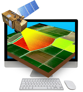
Explore satellite imagery, share geographic information, and access estimates of irrisat® irrigation volumes in accordance with Italian MIPAAF DM July 31, 2015
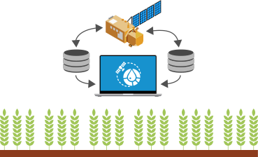
Map Time Explorer® for Reclamation and Irrigation Consortia is a platform designed to meet the needs of Reclamation Consortia and territorial public administrations. It is a Web tool (no need to install any software on your PC) developed to explore satellite data and allows easy examination of any geographic data in time and space.
How it works
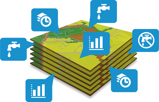
Through the calendar function Map Time Explorer® makes it easy to move from one date to another, displaying changes in geolocated information through graphs and tables. The system, based on non-proprietary standards, allows rapid integration with all tools in use by the organization and technical offices, ensuring interoperability.
It also enables the organization to equip itself with tools to access satellite maps, pupply and visualize the graphs of technological networks, query cadastral data, cartographies, etc.
Benefits
Immediate access in
real time to satellite maps
Multi-user management
Easy to use oriented even for “inexperienced” users
Quick and flexible introduction into the work environment
Consultation of maps of irrigated areas and irrigated volumes irrisat®
Data sharing within the organization.
Interoperability with existing databases using OGC protocols
Contact us to let us know your needs
Enter your information in the form opposite, and we will contact you back to develop together the solution that best suits your needs. We will be happy to provide you with all the information about the system without any commitment on your part.